Mont Meru Via Momela Route

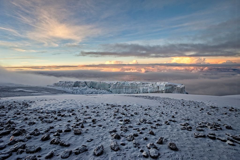
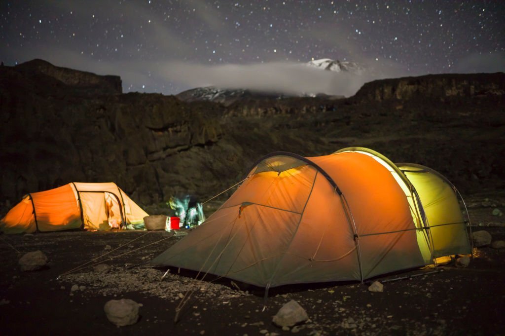
Mount Meru Overview
Mount Meru is the first sight you can see when reaching Arusha town.
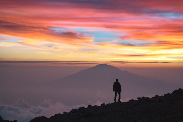
The mountain is with its 4,566 m (14,990 feet) Tanzania’s second highest peak after Kilimanjaro and the fifth highest in Africa. The mountain has two peaks: Meru Summit, the highest point, and Ash Cone, an additional peak inside the crater which was formed after a more recent volcanic activity. On clear days one can see Great Rift Valley and Kitumbeini and Gelai volcanoes in the western part, and in the east its neighbor Mount Kilimanjaro with Kibo and Shira Plateau.
The peak can be ascended in 3 or 4 days on the Momela Route
It is the only way up to the summit. You don’t need any technical equipment for the climb but you will need to be prepared for the altitude gain. The best thing you can do is to take your time for proper acclimatization.
Spectacular views
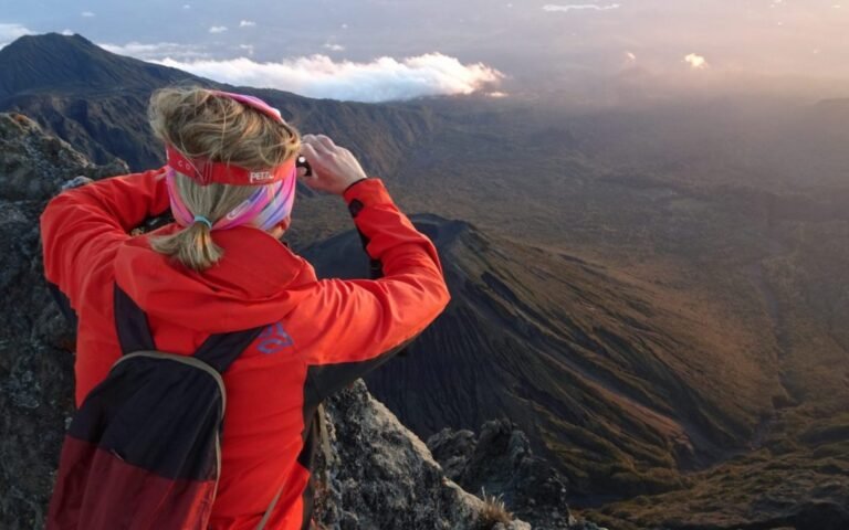
The climb offers spectacular views of Mount Kilimanjaro and wildlife on the forested slopes and the summit itself offers an amazing view of small cones and craters, which are probably the results of numerous volcanic activities in the past.
The climb to Mount Meru is a rewarding experience
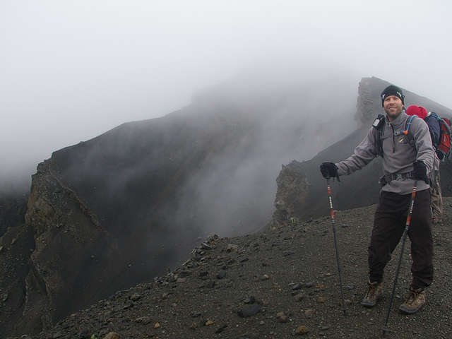
You first pass through a savannah where you have the possibility to spot buffaloes and giraffes. At the lower slopes of Mount Meru you can find parkland, grassland and a rainforest with red-hot pokers and Spanish moss. The giant heather zone and the moorlands are forested by giant lobelias. Close to the summit you can spot everlasting flowers in this alpine desert. The way up to the summit is through a narrow and barren ridge. At the summit you can have amazing views of the Ash Cone inside the crater. While the best choice to explore Mount Meru is by climbing it up to Meru Summit, you can also spend your time at the mountain and its surrounding with different activities such as a walking safari in the national park, canoeing in the Small Momella Lake, bird watching or even game-viewing.
The wildlife and the birds of this area are amazing
The most prominent among the 400 different bird species on Mount Meru are lanner falcon, Levaillant’s cuckoo and crowned eagle. The animals you can see around the mountain are giraffes, white colobus monkey, buffaloes, elephants, baboons and flamingos around the Momella lakes.
The formation of Mount Meru
It happened after the formation of Great Rift Valley, when million years ago the volcano standing on this area lost its top after a gigantic explosion. This explosion gave Mount Meru its shape of a horseshoe. Mount Meru is still an active volcano with the last smaller eruption in 1910. The first person to climb Mount Meru up to the peak was Dr. Fitz Jaeger in 1904. The local Waarusha people who leave around Mount Meru regard it a sacred place. They sacrifice a bull or sheep every year to the mountain for a rainy season. Mount Meru offers two huts for overnight stays, Miriakamba and Saddle hut. Additionally, the Arusha National Park has three campsites, a rest-house and few lodges.
You won't regret travelling with us
Oldonyo Lengai Mountain


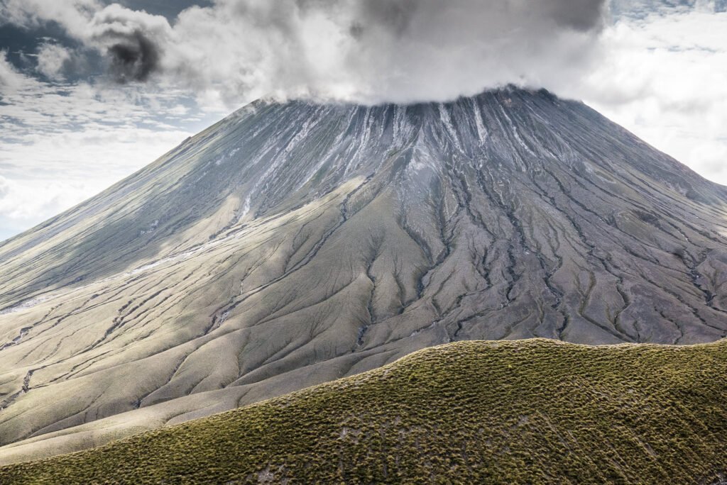
Ol Doinyo Lengai Overview
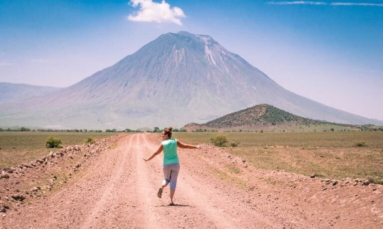
East Africa’s only active volcano, Ol Doinyo Lengai, is situated south of Lake Natron. In the Maasai the name means the sacred Mountain of God. Mount Lengai is 878m high and it has explosive eruptions every twenty to forty years.
The last bigger eruption was in 1966, with some smaller ones in 1983, 1933 and 2007. Ol Doinyo Lengai is one of the few volcanoes without Sodium carbonate and potassium and it is the only volcano in the world that erupts natrocarbonatite lava. This lava has almost no silicon and its temperatures are not as high as those of other lavas, approximately 500 – 600°C.
The natrocarbonatite lava looks like fluid black oil and it turns white when in contact with objects full of moisture. This whitening happens almost immediately when raining.The mountain has two summit craters. The southern one is inactive and filled with volcanic ash. The active one is the northern summit crater, with a depth of over 200 meters. Mount Lengai can be climbed up to the peak and sometimes also all the way down to the crater, almost to the brim of the molten lava flows.
Climbs are mostly organized after midnight to reach the summit in the sunrise.Although the rout is hard because of the heat ( 40°C) and hikers are advised to be extremely cautious, the views from Mount Lengai are astonishing. In the north Lake Natron is visible, in the west the Great Rift Valley, and the eastern part offers majestic views of Mount Kilimanjaro.


